US Records · Enumeration district maps
A misspelled surname does not make a family disappear from the census. If you know the street address, an enumeration district map and description can reduce a city of hundreds of thousands of people to a manageable set of census pages.
What an enumeration district was
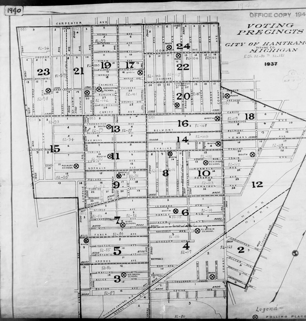
An enumeration district was the area assigned to one census taker. Its number identifies a geographic section, not a family. Boundaries could follow streets, railroad lines, rivers, ward lines or township borders and changed from one census to the next.
Start with an address
Find the family in a city directory, naturalization petition, draft card, death certificate or parish record created close to the census date. Confirm that the street was inside the same city at that time and note cross streets because house numbering and street names sometimes changed.
The address-to-census workflow
- Choose the census year and confirm the historical address
- Open the NARA map or written district description for the city or county
- Locate the block and record the enumeration district number
- Browse that district page by page, watching street names in the margin
- Search adjacent districts if the address lies on a boundary or the household moved
1930, 1940 and 1950
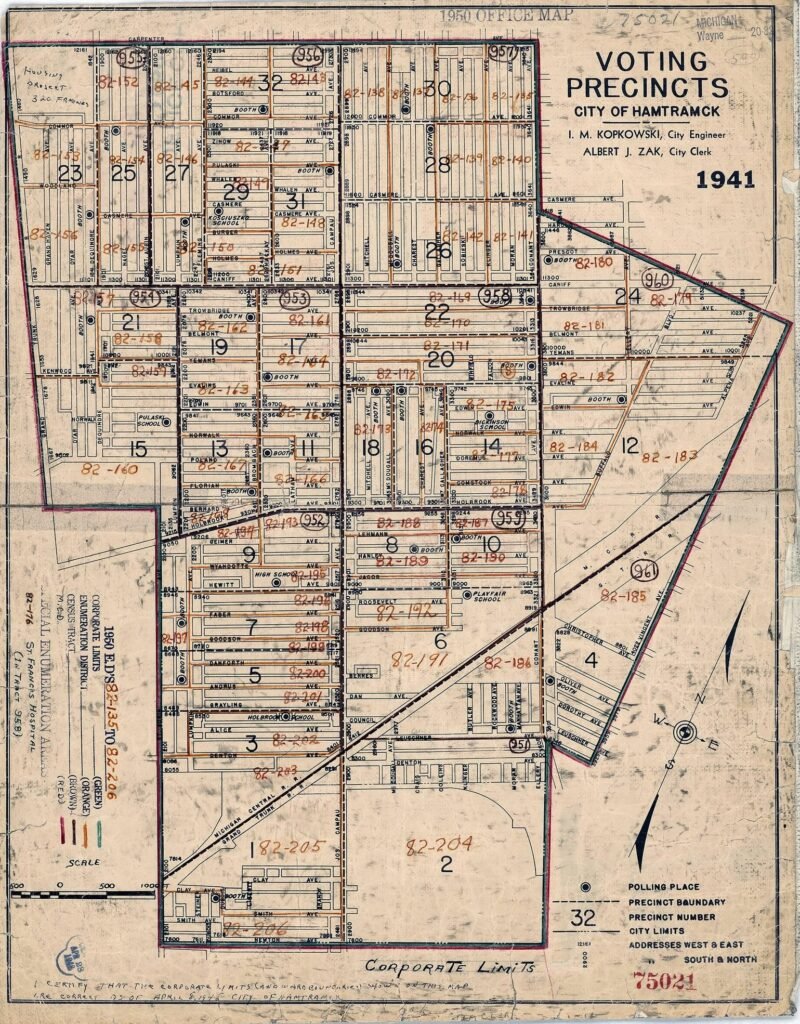
NARA has extensive map coverage for 1930 and 1940, although gaps exist. The official 1950 census site includes population schedules, enumeration district maps and district descriptions. Use the original description with the map because a large sheet may contain several districts.
Polish neighborhoods as a search aid
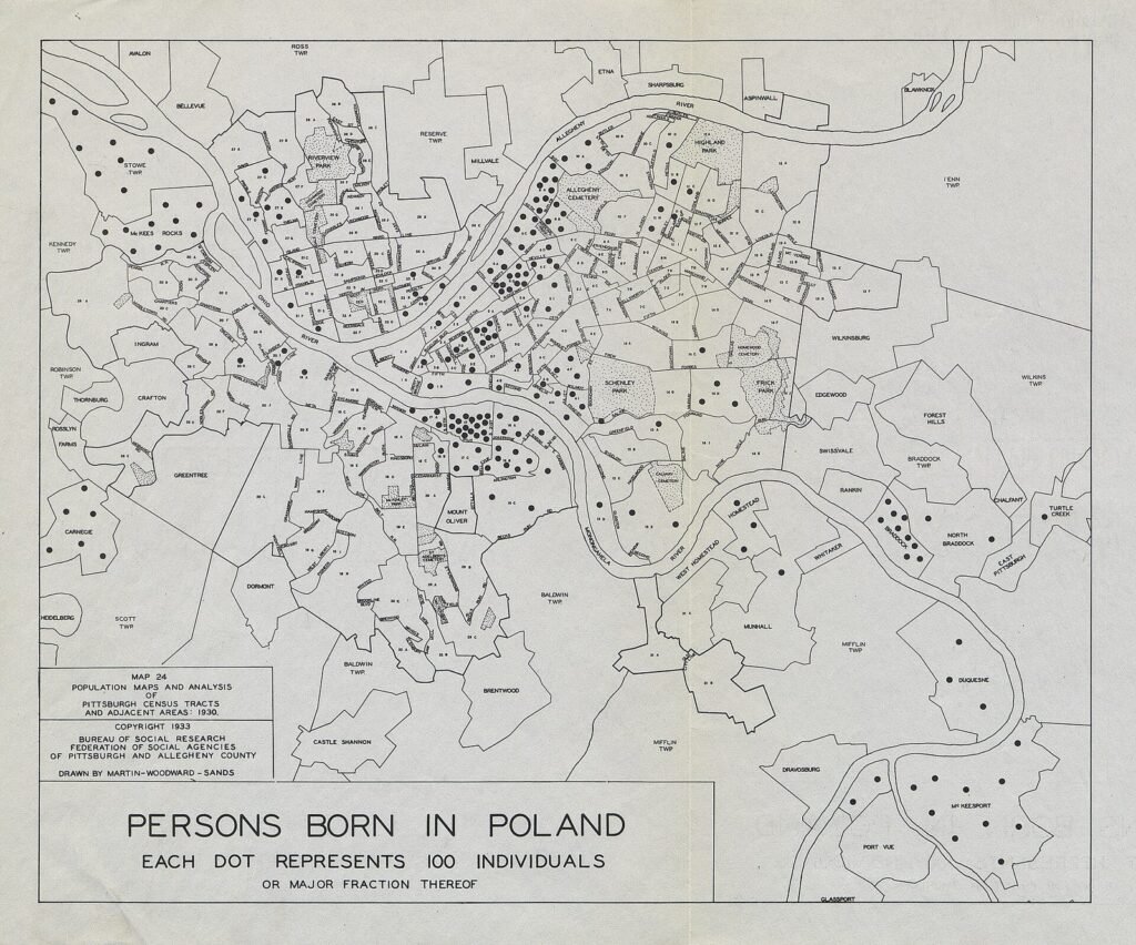
A parish, fraternal hall or Polish business district can orient the search when the exact house number is uncertain. Once one relative is found, inspect nearby households for siblings, in-laws and families from the same village.
Never reuse an enumeration district number from another census year. District boundaries and numbers were redesigned for each census.
Sources and research tools
How we can help
We combine directories, maps and census images to locate households that name indexes miss, then trace neighbors and relatives across the same streets.