US Records · Sanborn maps
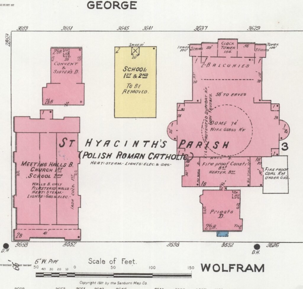
A census tells you who lived at an address. A Sanborn fire insurance map shows the physical setting: the building footprint, construction material, street, alley, nearby factory and sometimes the church or hall that organized neighborhood life.
What Sanborn maps were made to show
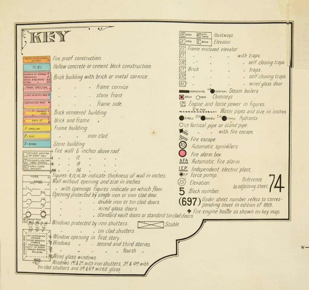
The maps were created for fire insurance assessment, not genealogy. They record building footprints, use, construction, number of stories and access to water. Their symbols and colors are technical, so begin with the key for the volume and date you are using.
A practical research sequence
- Find a precise address in a directory, census or naturalization file
- Choose a Sanborn volume close to the record date
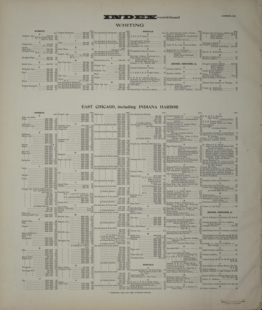
- Use the street index and sheet number to locate the block
- Read the map key before interpreting colors or abbreviations
- Compare earlier and later editions to see demolition, rebuilding or renumbering
What the block can explain
A rear dwelling may explain two households at one number. A boarding house near a steel mill can explain a cluster of single immigrant laborers. A parish school or fraternal hall around the corner can point to baptismal registers, newspapers and organizational records.
City boundaries and changed streets
Industrial suburbs were annexed, streets were renamed and house numbers were standardized at different times. Use contemporary directories and municipal maps to translate an old address before assuming the building has vanished.
Accessing the maps
The Library of Congress provides a searchable Sanborn collection with many digitized sheets. State archives, university libraries and local historical collections may hold additional editions or later maps restricted by licensing. Coverage varies by city and year.
A map shows a building’s recorded use, not the identity of every resident. Keep the address evidence from directories and censuses attached to the map interpretation.
Sources and research tools
How we can help
We use historical maps to explain addresses, identify churches and workplaces, and separate families who shared a surname in the same industrial city.